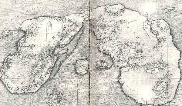
By the request of a Vala here (forget which one) I have been asked to start a topic about the maps of Tolkien's world. Therefore I am doing so and I will use the maps displayed on Tolkien Forums:
The First map you can see a map of How Arda looked in the Very beginning, when the Ainur first Descended into Ea. You can see the Great Lake, the Isle of Almaren and the Pillars of Light Illuin and Ormal.
The Second map you can see how Arda looked just after Melkor returned from the Outer Darkness and assailed the Pillars of Light. Notice how Middle-earth now splits into three and gains its characteristic appearance. However it is not full wrought until the following map:
The third map we can see how Arda looked in the First Age when the Noldor retrurn to Middle-earth in Exile (this being when the First Age actually begins). Notice it is far more how we would expect a world to look (the continents have lost there block like shape).
The last map we can see how Arda looked in the Second Age. The obvious differences being that there is now no way to reach Aman from Middle-earth on foot. Also we notice the Great Isle of Numenor.
FIRST MAP:
http://www.tolkienforums.com/Map%20of%20original%20Arda.bmp
SECOND MAP:
http://www.tolkienforums.com/map%20of%20arda%20after%20pillers.bmp
THIRD MAP:
http://www.tolkienforums.com/first%20age%20Arda%20map.gif
FOURTH MAP:
http://www.tolkienforums.com/map%20of%20Arda.jpg
---------------------------------------------------------------


")
